


Hedgehogs!
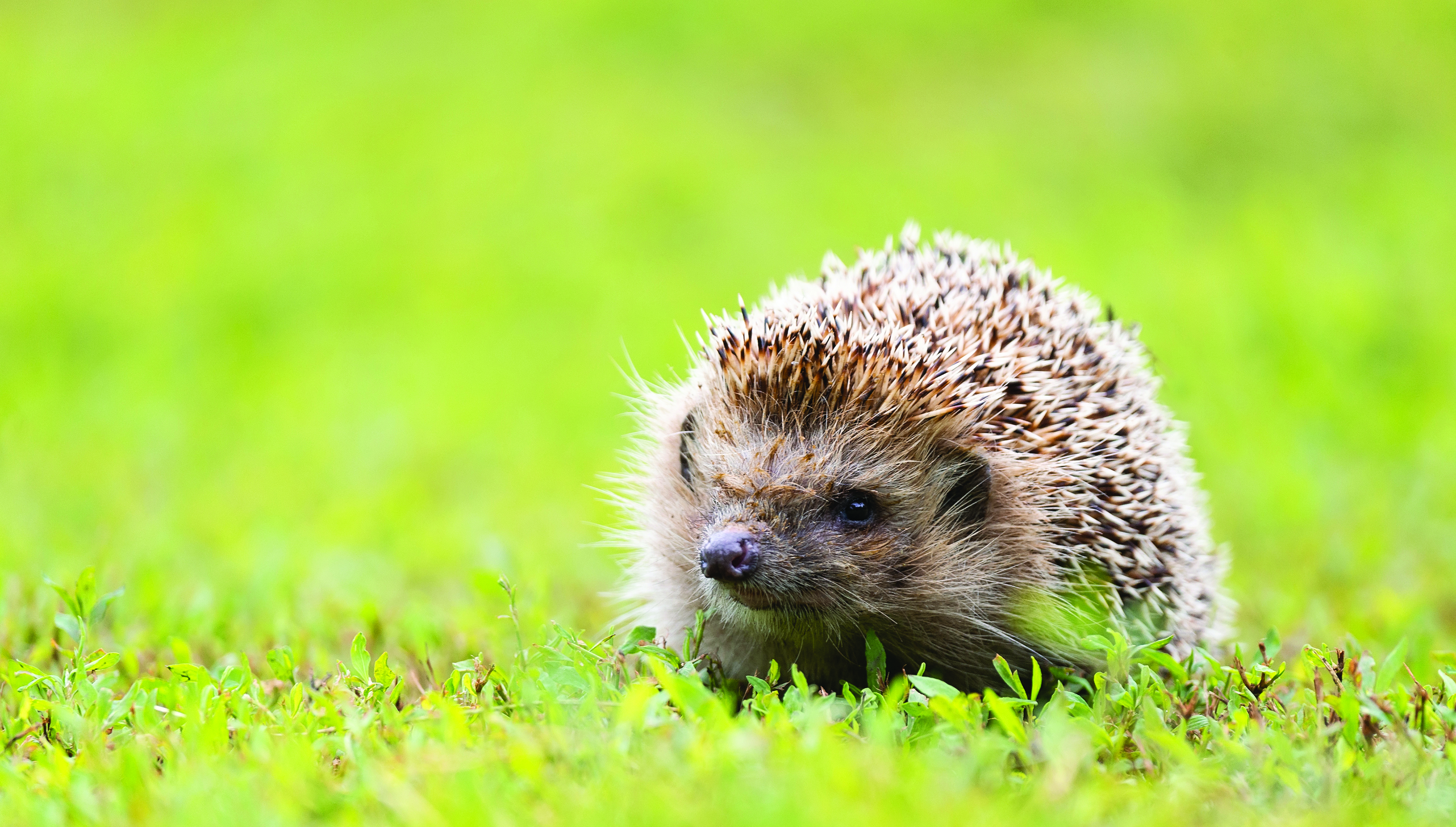
What animal is so adorable you just have to cuddle it, but you can’t because it looks like a cactus? Hedgehogs are small nocturnal mammals that are famous for their spiky coats. Also known as a Furze-pig, these are some of the coolest and quirkiest mammals you'll ever meet. With their adorable faces, tiny paws, and their spikes, they’re full of surprises. There are 17 different species of hedgehogs that can be found across three continents: Europe, Africa, and Asia. Whether in the wild, as a pet, or in cartoons and video games, these animals bring joy and curiosity.
Hedgehogs live in a variety of habitats, in dens that are safe and cozy. Many hedgehogs, like the European species, live in wooded areas where there are plenty of leaves to hide under and insects to munch on. Hedgehogs can also be found in fields, meadows, and gardens. Hedgehog babies are called hoglets, adult females are called sows and adult males are boars. Would you believe a hoglet is about the size and weight of a grape when it is born?
They have fantastic survival skills to keep themselves safe. The most used survival reflex is to roll up in a ball. It might look like a small, defenseless animal, but it is actually well-protected when it curls up. The hedgehog’s coat is made of five to seven thousand quills that act like a shield. Hedgehogs have a strong sense of smell that helps detect predators. Adults are very good swimmers. Fun fact: their quills are hollow which helps keep their bodies buoyant in the water — like a pokey life vest!.
Many people keep hedgehogs as pets. The favorite species to own is the African Pygmy Hedgehog. They are very shy, curious and can be very affectionate if they trust you. If you’re interested in having a hedgehog as a pet, make sure you get one from a reputable breeder and check the laws in your area because in some places it is illegal to own one. Some people illegally import hedgehogs caught in the wild and these animals can be affected by diseases that can spread to other animals, or even to humans.